
Country United States County Dare Area code(s) 252 Elevation 6.1 m Population 776 (2010) | Time zone Eastern (EST) (UTC-5) FIPS code 37-02780 Zip code 27915 Local time Friday 9:17 AM | |
 | ||
Weather 11°C, Wind NW at 11 km/h, 35% Humidity | ||
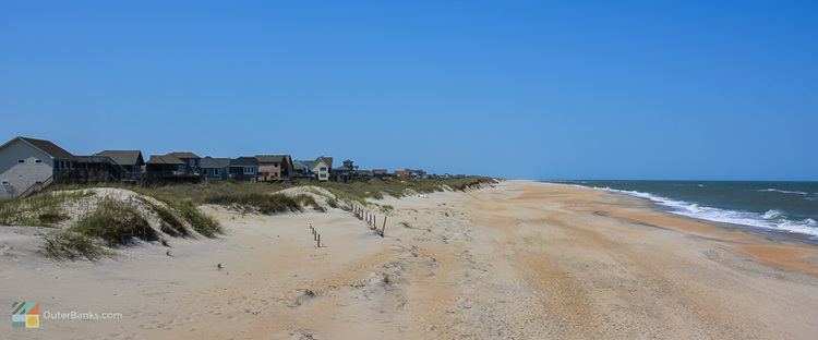
Avon is an unincorporated community and census-designated place (CDP) in Dare County in the U.S. state of North Carolina. As of the 2010 census, it had a permanent population of 776.
Contents
Map of Avon, NC 27915, USA
Geography
Avon is located on the North Carolina Outer Banks at latitude 35°21'7" North, longitude 75°30'39" West. The village is south of Salvo and north of Buxton on Hatteras Island. The United States Postal Service has assigned Avon the ZIP code 27915.
According to the U.S. Census Bureau, the Avon CDP has a total area of 2.41 square miles (6.24 km2), of which 2.36 square miles (6.10 km2) is land and 0.05 square miles (0.14 km2), or 2.27%, is water. Avon is bordered to the east by the Atlantic Ocean and to the west by Pamlico Sound.
History
Historically named "Kinnakeet", the village was renamed "Avon" by the U.S. Postal Service when a post office was established there in 1883. The U.S. Life-Saving Service constructed the Little Kinnakeet Life Saving Station in 1874, remaining active, under the Coast Guard from 1915, until decommissioned in 1954. The building is now part of the Cape Hatteras National Seashore.
Government
The residents of Avon are governed by the Dare County Board of Commissioners. Avon is part of District 4, along with Buxton, Frisco, Hatteras, Rodanthe, Waves and Salvo.