
Basin area 26 km² Country Australia | - location Earlwood | |
 | ||
Similar Georges River, Prospect Creek, Cup and Saucer Creek, Vineyard Creek, Duck Creek | ||
Salt Pan Creek, an urban watercourse of the Georges River catchment, is located in the Canterbury-Bankstown region of Sydney, in New South Wales, Australia.
Contents
Map of Salt Pan Creek, New South Wales, Australia
Course and features
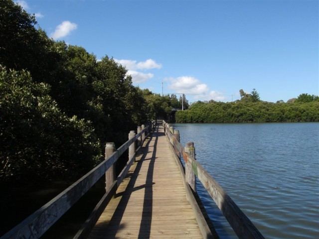
Salt Pan Creek rises west southwest of the suburb of Mount Lewis, within the Canterbury-Bankstown local government area, and flows generally south by east through Georges River local government area, before reaching its confluence with the Georges River, at Riverwood. The catchment area of the creek is approximately 26 square kilometres (10 sq mi), and is subject to flooding due to vegetation modification and urban development.
Vegetation in the catchment area consists of three endangered ecological species, including coastal saltmarsh, Cooks River Castlereagh Ironbark Forest, and Shale / Sandstone Transition Forest. Vegetation varies substantially throughout the catchment area and includes freshwater environments, estuarine environments, mangroves and saltmarshes, riparian and terrestrial environments, which provide important habitat for native fauna.
History
From as early as 1809, the land surrounding Salt Pan Creek was the site of uprising by Australian Aborigines against colonial settlement. Tedbury, the son of Pemulwuy, an Aboriginal elder, was involved in a skirmish that saw Frederick Meredith, a European settler, injured with a spear and forced to abandon his farm. It is understood that Meredith and another settler, sought to clear and cultivate land surrounding the creek that may have been an important food source for Aborigines. Between 1926 and 1935, lands surrounding the creek became a focal point for indigenous rights, as they set up squatter camps that consisted of refugee families whose traditional lands had been resumed and also those seeking to escape the Aboriginal Protection Board.
Salt Pan Creek was named by early colonial settlers, who took salt from the swampland by evaporating the salt water.