
Length 824 km | ||
 | ||
Basin size 55,300 km (21,400 sq mi) Discharge Average rate:193 m/s (6,800 cu ft/s) | ||
Exploring sakarya river on river kayak
The Sakarya (Turkish: Sakarya Irmağı, Greek: Σαγγάριος, Sangarios) is the third longest river in Turkey. It runs through what in ancient times was known as Phrygia.
Contents
Map of Sakarya River, Turkey
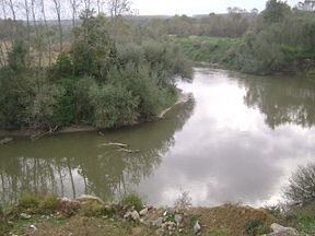
The source of the river is the Bayat Yaylası (Bayat Plateau) which is located to the northeast of Afyon. Joined by the Porsuk Çayı (Porsuk Creek) close by the town of Polatlı, the river runs through the Adapazarı Ovası (Adapazarı Plains) before reaching the Black Sea. The Sakarya was once crossed by the Sangarius Bridge, constructed by the East Roman Emperor Justinian I (r. 527–565).
In the Middle Ages, the valley of the Sakarya was the home of the Söğüt tribe, which went on to establish the Ottoman Empire.
From downstream to upstream, it is dammed at Gölpazarı, Yenice, Gökçekaya and Sarıyar.