
Listing Country high point Elevation 1,063 m Mountain range Mowdok Range | Prominence 695 m Parent range Mowdok Range | |
 | ||
Similar Keokradong, Tazing Dong, Zow Tlang, Dumlong, Hkakabo Razi | ||
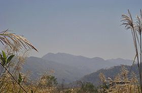
Saka Haphong (also Mowdok Mual or Tlan Moy) is a peak in Bangladesh, often considered the highest point of the country, with an elevation of 1,052 metres (3,451 ft). Located on the Bangladesh–Burma border, it is situated between Thanchi, Bandarban, Bangladesh and the Chin State of Burma.
Contents
Map of Saka Haphong
Saka Haphong is not officially the highest peak of Bangladesh, but maps and other data indicate there are no higher peaks within the country. In February 2006 a GPS reading of 1,064 metres was recorded on this summit by English adventurer Ginge Fullen. The location he recorded, 21°47′11″N 92°36′36″E / 21.78639°N 92.61°E, accurately matches the location given by Russian topographic mapping and SRTM data, although these sources show its height to be slightly lower, at 1,052 metres. Recently two trekking clubs counted the height of Saka Haphong as 3,488 and 3,461 feet respectively. Any of these figures would make it the highest mountain in Bangladesh, exceeding the height of Keokradong which is 3,172 feet high.