
Location Ruma, Bandarban Elevation 986 m Parent range Chittagong Hill Tracts | Prominence 500 m | |
 | ||
Similar Saka Haphong, Tazing Dong, Mount Saramati, Hkakabo Razi, Phawngpui | ||
Cloud of keokradong bandorban bangladesh
Keokradong is a peak located in Bandarban, Bangladesh, with an elevation of 986 metres (3,235 ft). Some sources claim it as the highest point of Bangladesh.
Contents
- Cloud of keokradong bandorban bangladesh
- Map of Keokradong
- Bandarban to keokradong tour guide sep 2016
- References
Map of Keokradong
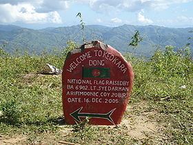
On the top of Keokradong there is a small shelter and a signboard put up by the Bangladeshi military proclaiming the elevation to be 3,172 feet.
Height measured by handheld GPS shows it is 986 metres (3,235 ft) with 3m accuracy.
There is a controversy about the highest point of Bangladesh, and some sources indicate Mowdok Mual as the most elevated peak of the country.
Bandarban to keokradong tour guide sep 2016
References
Keokradong Wikipedia(Text) CC BY-SA