
Population (2008) 3,471 Area 21.82 km² | Time zone CET (UTC+1) Local time Wednesday 5:21 AM | |
 | ||
Weather 7°C, Wind SE at 10 km/h, 88% Humidity | ||
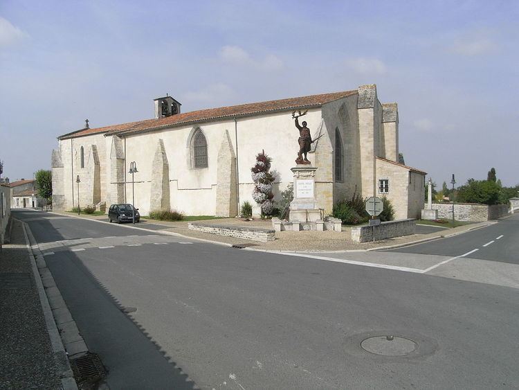
Sainte-Soulle is a commune in the Charente-Maritime department in the Nouvelle-Aquitaine region in southwestern France.
Contents
Map of 17220 Sainte-Soulle, France
Geography
The commune is situated about 12 km (7.5 mi) east of La Rochelle and forms a part of the metropolitan area of La Rochelle.
It is traversed by the N11 (La Rochelle - Paris), which can be accessed at the Usseau roundabout. At the Usseau roundabout, the route connecting La Rochelle with Nantes (N137) branches off the N11. The future highway A831 (Fontenay-le-Comte—Rochefort) will pass through the commune.
Apart from the village Sainte-Soulle, the commune consists of the localities Les Grandes-Rivières, Les Petites-Rivières, Saint-Coux, part of Fontpatour, le Treuil-Arnaudeau, Usseau, La Gabardelière, Chavagne and Le Raguenaud.
Formerly an agricultural commune, it became urbanized in the 1990s and many of its residents are now employed in nearby La Rochelle.
History
The name of the commune comes from the local saint Soline (see also the commune of Sainte-Soline in the Deux-Sèvres department).