
RCM La Côte-de-Beaupré Time zone EST (UTC−5) Area 7.9 km² Province Québec | Constituted January 1, 1917 Postal code(s) G1R 4R7 Population 5 (2011) | |
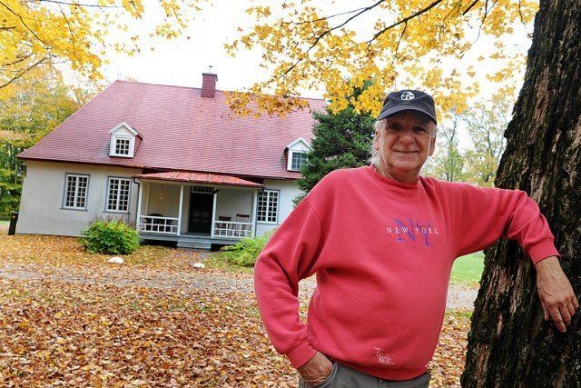 | ||
Saint-Louis-de-Gonzague-du-Cap-Tourmente is a parish municipality in Quebec, Canada.
Contents
- Map of Saint Louis de Gonzague du Cap Tourmente QC Canada
- Geography
- History
- Government
- Demographics
- References
Map of Saint-Louis-de-Gonzague-du-Cap-Tourmente, QC, Canada
Its population in the Canada 2011 Census was 5. It is a relic of the seigneurial system of New France.
Geography
Saint-Louis-de-Gonzague-du-Cap-Tourmente is a small enclave within the municipality of Saint-Joachim, at the foot of Cape Tourmente, and east of Sainte-Anne-de-Beaupré, in the regional county municipality of La Côte-de-Beaupré in the region of Capitale-Nationale.
Located near the provincial capital of Quebec City, it is part of the Communauté métropolitaine de Québec.
History
Named for Saint Aloysius Gonzaga and Cap Tourmente, a stormy promontory named by Samuel de Champlain, the municipality was set up in 1917 by a law that detached certain buildings and lands belonging to the Séminaire de Québec from the parish of Saint-Joachim in order to avoid paying municipal taxes and fees. At that time, it had an area of several square kilometres, including farmland; however, the law specified that if the Séminaire sold any of its property, it would revert to Saint-Joachim.
By and by, all of the Séminaire's property was sold and was thereby returned to Saint-Joachim, except for the Petit-Cap property, which now constitutes the entire territory of the municipality.
Government
The municipality is not governed by a municipal council but by the Board of Directors of the Séminaire de Québec. As such, it does not have a mayor but rather an administrator.
Demographics
In the 2011 Census, Statistics Canada originally reported that Saint-Louis-de-Gonzague-du-Cap-Tourmente had a population of 18 living in 8 of its 12 total dwellings, an increase from its 2006 population of 0. Statistics Canada subsequently amended the 2011 census results to a population of 5 living in 1 dwelling. With a land area of 0.35 km2 (0.14 sq mi), it had a population density of 14.3/km2 (37/sq mi) in 2011.
Population trend: