
Time zone EST (UTC−5) Area code(s) 450 and 579 Area 100.8 km² Local time Tuesday 12:14 PM | Constituted September 29, 1999 Postal code(s) J0S 1R0 Highways Route 203 Route 209 Population 2,522 (2011) Province Québec | |
 | ||
Weather 3°C, Wind NW at 8 km/h, 98% Humidity RCMs Montérégie, Le Haut-Saint-Laurent Regional County Municipality | ||
Saint-Chrysostome is a municipality in south-west Quebec, Canada in the regional county municipality of Haut-Saint-Laurent in the Montérégie administrative region. The municipality was created by the amalgamation of Saint-Chrysostome village with the parish of Saint-Jean-Chrysostome on September 29,1999. The population as of the Canada 2011 Census was 2,522.
Contents
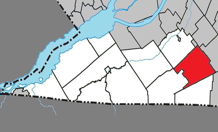
Map of Saint-Chrysostome, QC, Canada
Communities
The following locations reside within the municipality's boundaries:
Lakes & Rivers
The following waterways pass through or are situated within the municipality's boundaries:
References
Saint-Chrysostome, Quebec Wikipedia(Text) CC BY-SA