
Elevation 1,050 m (3,440 ft) Postal code 01xx Area 1,170 km² Area code 0322 | Region Mediterranean Time zone EET (UTC+2) Licence plate 01 Local time Tuesday 10:45 AM | |
 | ||
Weather 11°C, Wind N at 16 km/h, 52% Humidity | ||
Saimbeyli (Armenian: Հաճըն, Hadjin/Hačɘn) is a small city and a district in Adana Province, Turkey in the Çukurova region. The city of Saimbeyli is located in the Taurus mountains, 157 km north of the city of Adana, via an adequate road. The city had a population of 4,010 in 2012.
Contents
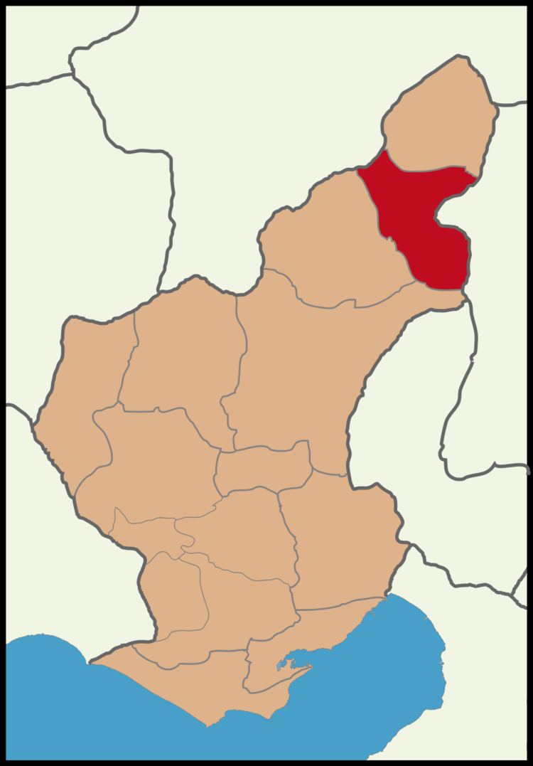
- Map of Saimbeyli Kandilli Mahallesi 01740 Saimbeyli2FAdana Turkey
- History and Monuments
- Places of interest
- References
Map of Saimbeyli, Kandilli Mahallesi, 01740 Saimbeyli%2FAdana, Turkey
The city of Saimbeyli is on the Göksu river (one of the sources of the Seyhan, in a valley between the forested mountains of Dibek and Bakır. There is a pass through the mountains from here to Kayseri and the valley is watered by many mountain streams.
History and Monuments
The area probably has the foundations of Hittite settlements. There is no evidence at present that it was occupied in the Roman period, but it seems likely.
The fortress of Saimbeyli may be the medieval Badimon or perhaps the castle of Berdus, which appears on the Coronation List of King Levon I in A.D. 1198/99. This fortress, which guards the strategic road between Kayseri to the north and the Rubenid castle of Vahka to the south, stands on an outcrop at the junction of two valleys and two tributaries of the Seyhan River. The plan and masonry of Saimbeyli’s castle are identical to the military architecture in the Armenian Kingdom of Cilicia and undoubtedly date from the mid-12th century to the 13th century. Two large round towers with embrasured loopholes (shooting ports) guard the entrance at the northwest, while the remainder of the circuit is protected by steep cliffs below and three rounded salients. In the lower level of the salient in the east wall is the apse for a chapel. A well-preserved vaulted cistern is located near the southwest side of the ward. The exterior masonry consists of ashlar blocks with a rusticated facing. There is evidence of repair, perhaps into early modern times.
Opposite and below the fortress are the substantial remains of ecclesiastical and civilian architecture, which date from the 14th through the 19th century. The monastic complex dedicated to St. James is perched on the side of a tall hill at the northwest end of the village. The monastery may have a 12th century foundation, but it was rebuilt in 1554 by Bishop Khatchadour. In 1981 the foundation of an orphanage school was visible and only the east end of the large Church of St. James was standing. There was evidence of an underground crypt below the central apse of the church.