Area 1,599 km² | Website Official website | |
 | ||
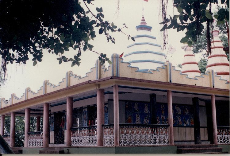
Points of interest Ganges, Shivgadi, Sanghi Dalan, Teliagarhi Fort | ||
Sahibganj district (Hindi: साहिबगंज जिला) is one of the twenty-four districts of Jharkhand state, India, and Sahibganj is the administrative headquarters of this district.
Contents
Map of Sahibganj, Jharkhand
Divisions
Sahibganj district is divided into two subdivions: Sahibganj subdivision and Rajmahal subdivision. It is further subdivided into nine Community development blocks:(Sahibganj subdivision) Sahibganj, Mandro, Borio, Barhait (Rajmahal subdivision) Taljhari, Rajmahal, Udhwa, Pathna and Barharwa.
Economy
In 2006 the Ministry of Panchayati Raj named Sahibganj one of the country's 250 most backward districts (out of a total of 640). It is one of the 24 districts in Jharkhand currently receiving funds from the Backward Regions Grant Fund Programme (BRGF).
Demographics
According to the 2011 census Sahibganj district has a population of 1,150,038, roughly equal to the nation of Timor-Leste or the US state of Rhode Island. This gives it a ranking of 407th in India (out of a total of 640). The district has a population density of 719 inhabitants per square kilometre (1,860/sq mi). Its population growth rate over the decade 2001-2011 was 23.96%. Sahibganj has a sex ratio of 948 females for every 1000 males, and a literacy rate of 53.73%.
Blocks/Mandals
Sahibganj district consists of 09 Blocks. The following are the list of the Blocks in sahibganj district:
