Telephone/STD code 06436 Elevation 38 m Area code 06436 | Time zone IST (UTC+5:30) Vehicle registration JH 18 Population 75,659 (2011) | |
 | ||
Mandro is a community development block that forms an administrative division in Sahibganj subdivision of Sahibganj district, Jharkhand state, India. It is located 18 km from Sahibganj, the district headquarters.
Contents
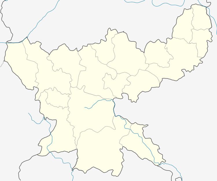
Map of Mandro, Jharkhand 816120
Geography
Mandro, the CD Block headquarters, is located at 25°8′37″N 87°29′55″E.
The district can be divided into two regions, one of which covers Borio, Mandro, Barhait, Pathna and Taljhari CD Blocks, and lies under the Damin-i-koh area. Dense forests coveing the hills and slopes have thinned out. Paddy is cultivated in the valleys and on the hill tops the inhabitants grow barbatti and maize. Paharias, Mal Paharias and Santhalis generally inhabit the area.
Mandro CD Block has 228 gram panchayats, 179 inhabited (chiragi) and 49 uninhabited (bechiragi) villages.
Demographics
As per 2011 Census of India Mandro CD Block had a total population of 75,659, all of which were rural. There were 38,114 (50 %) males and 37,545 (50 %) females. Population below 6 years was 14,042. Scheduled Castes numbered 3,149 and Scheduled Tribes numbered 41,176.
Mandro Damin Bazar had a population of 1,178 in 2011.
Literacy
As per 2011 census the total number of literates in Mandro CD Block was 28,361 (46.03 % of the population over 6 years) out of which 17,373 (61 %) were males and 10,988 (39 %) were females.
As per 2011 census, literacy in Sahibganj district was 52.04.Literacy in Jharkhand (for population over 7 years) was 66.41% in 2011.Literacy in India in 2011 was 74.04%.
