
Population 425 (2006 census) Local time Tuesday 6:25 AM | Postcode(s) 5413 Postal code 5413 Federal division Division of Wakefield | |
 | ||
Location 103 km (64 mi) north of Adelaide53 km (33 mi) south of Burra12 km (7 mi) south-east of Auburn LGA(s) District Council of Clare and Gilbert Valleys Weather 9°C, Wind N at 8 km/h, 100% Humidity | ||
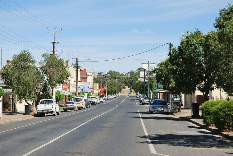
Saddleworth is a small town in the Mid North region of South Australia. The town is situated on the Gilbert River and along with neighbouring towns of Riverton, Rhynie and Tarlee the local area is known as the Gilbert Valley. The town in bisected by the Barrier Highway. At the 2006 census, Saddleworth had a population of 425.
Map of Saddleworth SA 5413, Australia
Saddleworth was originally established as one of many settlements on the road to Burra, and was named after Saddleworth Lodge pastoral station, a local landholding which itself was named after a town of Saddleworth in Greater Manchester (formerly in Yorkshire), England. The Burra railway line passed through the town from 1870 until the early 2000s.
An old store on the Barrier Highway has been converted into a museum which focuses on the history of Saddleworth and the nearby towns of Waterloo, Marrabel, and Manoora.
Saddleworth is in the District Council of Clare and Gilbert Valleys local government area, the state electoral district of Frome and the federal Division of Wakefield.
The town has a 3km long Heritage Walking Trail which provides an insight into the history of the area. .
In May 2016 the local store burned down. The store was also home to the town's Post Office.