
Established 1865 Footnotes Coordinates Postal code 5413 | Postcode(s) 5413 Waterloo Tothill Belt Founded 1865 Local time Sunday 8:13 PM | |
 | ||
Location 121 km (75 mi) NE of Adelaide7 km (4 mi) W of Manoora11 km (7 mi) S of Black Springs Weather 9°C, Wind SW at 14 km/h, 76% Humidity Lga District Council of Clare and Gilbert Valleys Federal divisions Division of Wakefield, Division of Grey | ||
Waterloo is a settlement in South Australia, located just off the Barrier Highway between Manoora and Black Springs, approximately 121 kilometres (75 mi) north-east of the state capital of Adelaide.
Contents
Map of Waterloo SA 5413, Australia
History
The township of Waterloo was surveyed and established in 1865 in the Hundred of Waterloo, County of Light. It derives its name from the famous battle of the Napoleonic Wars. Waterloo is situated in a valley on the head of the Light River. Located about midway between Kapunda and Burra, it is not to be confused with Waterloo Corner on the Adelaide Plains. In 1866 a petition was signed by 233 of the inhabitants and settlers for the establishment of a police station and courthouse. The government rejected this, as the township then comprised not more than six houses, a flourmill, and a hotel.
The locality is the birthplace of Tom Kruse, the Australian outback mailman who worked on the Birdsville Track in the border area between South Australia and Queensland.
Land Use
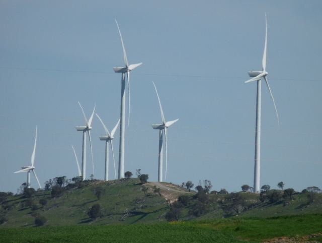
Although the township of Waterloo never thrived, it became the service centre for a large rural community, providing such facilities as a school, churches, and shopping. Today it is in the midst of a productive agricultural district, which it continues to service. Windfarms have been established on nearby ranges.
Kunden (Carlsruhe)
Approximately two and half kilometres (1.5 miles) south of Waterloo is the locality of Kunden. Originally named Carlsruhe, it was established in the nineteenth century by German immigrants who built the Carlsruhe Lutheran church and an adjoining cemetery. In 1918 as part of the Act of Parliament to change German place names, Carlsruhe was renamed Kunden. Carlsruhe school had 44 students when it was closed in 1916 as a consequence of law changes that required students to be taught in English rather than German. Today, the locality is now part of the greater Waterloo postcode area and all that remains of its original namesake is the church, cemetery and Carlsruhe Road.