Population 310 (2006 census) Elevation 246 m Local time Monday 12:15 PM | Postcode(s) 5411 Postal code 5411 Federal division Division of Wakefield | |
 | ||
LGA(s) District Council of Clare and Gilbert Valleys Weather 23°C, Wind SW at 37 km/h, 50% Humidity | ||
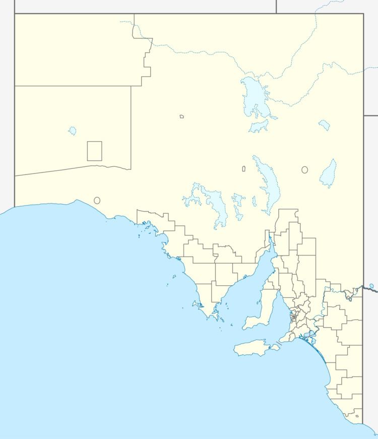
Tarlee is a town in South Australia. The origin of the name is uncertain, but it is thought to be a corruption of the name Tralee in Ireland. The town is in the lower Mid North region where Horrocks Highway crosses the Gilbert River. It is approximately 8 km south of Giles Corner, where the Barrier Highway to Broken Hill diverges from the Horrocks Highway through the Clare Valley. At the 2011 census, Tarlee had a population of 310.
Map of Tarlee SA 5411, Australia
Tarlee was on the Peterborough railway line between Roseworthy junction and Burra. For a short period, Forrester's near Tarlee was the terminus as construction was authorised in two stages in the late 1860s.
The Tarlee institute building was opened in 1888.
Tarlee is in the District Council of Clare and Gilbert Valleys local government area, the South Australian House of Assembly electoral district of Frome and the Australian House of Representatives Division of Wakefield.
