
Time zone PST (UTC+8) Area 105.6 km² | Barangays ZIP code 2614 Local time Monday 9:32 PM Neighborhoods Calot, Luncuie, Balluay | |
 | ||
Weather 23°C, Wind E at 11 km/h, 90% Humidity | ||
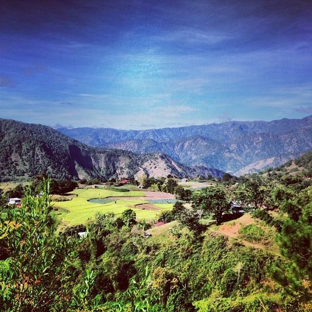
Sablan, officially the Municipality of Sablan (Ilocano: Ili ti Sablan; Filipino: Bayan ng Sablan), is a municipality in the province of Benguet in the Cordillera Administrative Region (CAR) of the Philippines. The population was 11,457 at the 2015 census. In the 2016 electoral roll, it had 6,795 registered voters.
Contents
- Map of Sablan Benguet Philippines
- History
- Geography
- Barangays
- Demographics
- Public schools
- Private schools
- Transportation
- References
Map of Sablan, Benguet, Philippines
History
The term "Sablan" was derived from the local word "Sabdang", a local tree which thrived in the area.
Sablan was created officially as a municipal district on July 1, 1927 under Executive Order No. 61 dated May 17, 1927 by then American Governor General Leonard Wood.
Geography
Sablan is located at 16°30′N 120°31′E, at the mid-western tip of Benguet. It is bounded by Kapangan on the north, Tublay on the northeast, La Trinidad on the east, Baguio City in the southeast, Tuba in the south, Aringay on the southwest, and Burgos to the west.
According to the Philippine Statistics Authority, the municipality has a land area of 105.63 square kilometres (40.78 sq mi) constituting 7000381000000000000♠3.81% of the 2,769.08-square-kilometre- (1,069.15 sq mi) total area of Benguet.
Barangays
Sablan is politically subdivided into 8 barangays.
Demographics
In the 2015 census, Sablan had a population of 11,457. The population density was 110 inhabitants per square kilometre (280/sq mi).
In the 2016 electoral roll, it had 6,795 registered voters.
Public schools
As of 2014, Sablan has 14 public elementary schools and 2 public secondary schools.
Private schools
Saint Louis School of Sablan is the only private secondary school in the municipality, located at barangay Poblacion.
Transportation
Major roads within the Sablan include the Quirino Highway (formerly Naguilian Road) and Asin Road.