
Componenthighways: N54 Length 46 km | ||
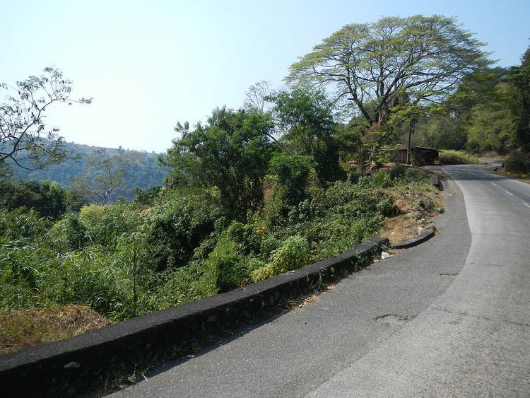 | ||
Naguilian road
Naguilian Road (officially Quirino Highway and also known as the Baguio-Bauang Road) is a Philippine major highway in northern Luzon that runs from the city of Baguio to the municipality of Bauang in the province of La Union.
Contents
Map of Naguilian Rd, Philippines
The 46-kilometre (29 mi) highway traverses the Benguet municipalities of Tuba and Sablan, and the La Union towns of Burgos, Naguilian and Bauang.
The highway serves as a major access route to Baguio. It is primarily used by motorists coming from the port city of San Fernando as well as the northern provinces of the Ilocos Region to get to the city.
Although Quirino Highway is the official name of the road, most people are more used to calling it by its former name Naguilian Road. It is also part of highway N54, where Kennon Road also belongs.
History
Naguilian Road, as it was once known, was the first and only road connecting the city to the lowlands, until Kennon Road was built in 1901. The highway was renamed into "President Elpidio Quirino Highway", in honor of former Philippine President Elpidio Quirino.