
Basin size 1,043 km (403 sq mi) Source elevation 2,178 m | Length 103 km | |
 | ||
Main source Kitzbühel Alps2,178 m (7,146 ft) | ||
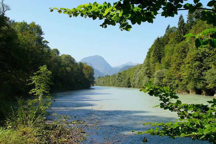
The Saalach is a 103 kilometres (64 mi) long river in Austria and Germany, and a left tributary of the Salzach.
Contents
Map of Saalach
Course
The river begins, as the Saalbach stream, in the Austrian state of Tyrol in the Kitzbühel Alps at the Torsee lake below the 2,178 m high Gamshag. From there it flows initially eastwards through the Glemmtal valley, through Hinterglemm, then the ski resort of Saalbach – at the latest from there it is known as the Saalach – until it bends north at Maishofen. It follows the broad valley to Saalfelden, and meanders further on through the narrow valley between the Leoganger and Loferer Steinberge and the Steinernes Meer to Lofer in north-western direction. There it enters a narrow gorge, famous for its white water rafting. Crossing the border to Bavaria (Germany) at Melleck it flows along the northern slopes of the Reiter Alpe known for its famous climbing routes. A short distance before Bad Reichenhall, a dam of a hydro-electrical power plant collects the waters of the Saalachsee. The power plant provides the energy for the railway line Salzburg, Freilassing, Bad Reichenhall to Berchtesgaden. Having passed Staufeneck, the Saalach leaves the mountains and enters the flat forests called Saalachau. From Piding on north-eastwards the border to Austria follows the river for some 10 km to Freilassing at which northern community border it merges with the river Salzach.
The name has its origin from Saal, an old form of Salz (salt), and Ach which denotes a small river.