
Width 23.3 km (14.48 mi) Elevation 659 m Max length 25 km | Area rank 4th largest in Norway Highest elevation 659 m (2,162 ft) Area 811.4 km² | |
 | ||
Points of interest Kjøttvikvarden, Tarhalsen, Storsand, Lille Sand, Store Sand, Svinlandet | ||
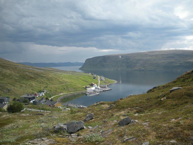
Sørøya (Northern Sami: Sállan) is a Norway's eight largest island in terms of area, and is divided between the municipalities of Hasvik and Hammerfest. It is often claimed to be 'one of the most beautiful' of the islands in Norway.
Contents
Map of S%C3%B8r%C3%B8ya, Norway
The island is surrounded by the Norwegian Sea on the north and the Sørøysundet to the south. Across the Sørøysundet are three large islands: Stjernøya, Seiland and Kvaløya. The island of Sørøya has no bridge or tunnel access, only a regular ferry route from Hasvik to Øksfjord on the mainland. Hasvik Airport is located on the southern tip of the island.
History
On 15 February 1945 525 Norwegian civilians were evacuated from Sørøya by four Royal Navy destroyers and brought to safety in Scotland via Murmansk in the Soviet Union. The rescue operation was code named Operation Open Door. [Later] in February and March fighting between Norwegian volunteers and German soldiers resulted in six dead Norwegians and fourteen captured, while between 30 and 100 German soldiers were killed.
In World War Two, a guerrilla group operated on the island.
Population
In 2012 the population numbered 1092.