
Width 16 km (9.9 mi) Highest point Kjerringfjordfjellet Area 248.1 km² | Length 27 km (16.8 mi) Highest elevation 960 m (3,150 ft) | |
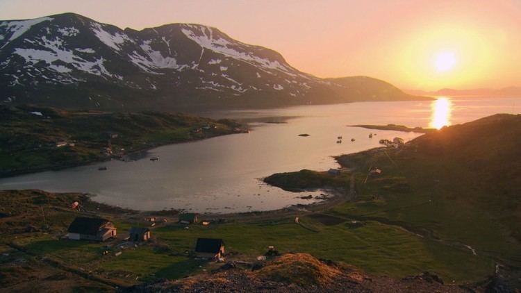 | ||
Stjernøya (Northern Sami: Stierdná) is an island in western Finnmark county, Norway, sitting at the mouth of the Altafjorden on the south side of the Sørøysundet strait. It is divided among the municipalities of Loppa, Hasvik, and Alta. The highest point on the 248.1-square-kilometre (95.8 sq mi) island is the mountain Kjerringfjordfjellet at 960 metres (3,150 ft) above sea level. One of the larger fjords on the island is the Sørfjorden. There are very few residents on the mountainous island. The main population area is at Store Kvalfjord on the northeastern side of the island. On the southern part of the island there is a large Nepheline syenite mine at Lillebukt. The island is separated from the mainland by the strait of Stjernsundet.
Map of Stjern%C3%B8ya, Norway
References
Stjernøya Wikipedia(Text) CC BY-SA