
Highest point Seilandstuva Area 559 km² | Highest elevation 1,078 m (3,537 ft) Peak Seilandstuva | |
 | ||
Municipality Alta, Hammerfest, Kvalsund Municipalities Alta, Hammerfest, Kvalsund | ||
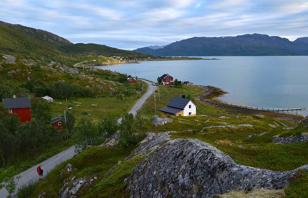
Trekking in seiland national park
Seiland (Northern Sami: Sievju) is the eighth largest island in mainland Norway, located in Finnmark county. The 559-square-kilometre (216 sq mi) island is divided between the municipalities of Alta, Hammerfest, and Kvalsund.
Contents
Map of Seiland, Norway
Archeological excavations have shown that people have lived on Seiland for over 7000 years. Today, however the only people on it live in a few relatively isolated areas such as from Altneset to Hakkstabben on the southern tip of the island; Kårhamn on the northwestern side; and the Hønseby, Eidvågen, Fiskebukta, Survika areas in the northern part of the island. In 2006, the majority of central Seiland was designated as Seiland National Park.
There are two glaciers on Seiland: Seilandsjøkelen and Nordmannsjøkelen. The 1,078-metre (3,537 ft) tall Seilandstuva is the tallest mountain on the island. There are a number of fjords located on the island including Lille Kufjorden, Store Kufjorden, Nordefjorden, and Jøfjorden.