
Time zone BRT (UTC-3) | Elevation 614 m (2,014 ft) Area 716 km² | |
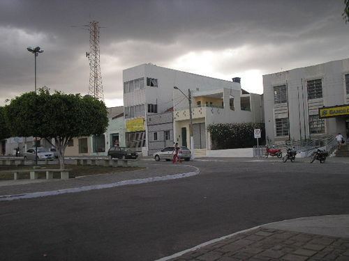 | ||
Viajando todo o brasil s o bento do una pe especial
São Bento do Una is a city from the Northeastern Region of Brazil at the Pernambuco state. According with IBGE, has an estimated population of 49,372 inhabitants (2009). It is located at latitude 08°31'22" South and longitude 36°26'40" West, and at approximately 614 meters of the sea level.
Contents
- Viajando todo o brasil s o bento do una pe especial
- Map of SC3A3o Bento do Una State of Pernambuco Brazil
- Fun Facts
- Geography
- Economy
- Economic Indicators
- References
Map of S%C3%A3o Bento do Una, State of Pernambuco, Brazil
Fun Facts
Geography
Economy
The main economic activities in São Bento do Una are based in commerce and agribusiness, especially plantations of beans, corn and manioc and creations of livestock such as: chickens, quails and their eggs, cattle, milk, pigs, sheeps, goats and donkeys .
Economic Indicators
Economy by Sector 2006
References
São Bento do Una Wikipedia(Text) CC BY-SA