
Country Canada Population 664 (2001) | Area 853.6 km² Province Saskatchewan | |
 | ||
Invergordon No. 430, Saskatchewan was established December 11, 1911. It is a rural municipality of Saskatchewan located west of Melfort, Saskatchewan.
Contents
- Map of Invergordon No 430 SK Canada
- Statistics
- Urban communities
- Saskatchewan railways and railway stations
- Saskatchewan highways and roads
- References
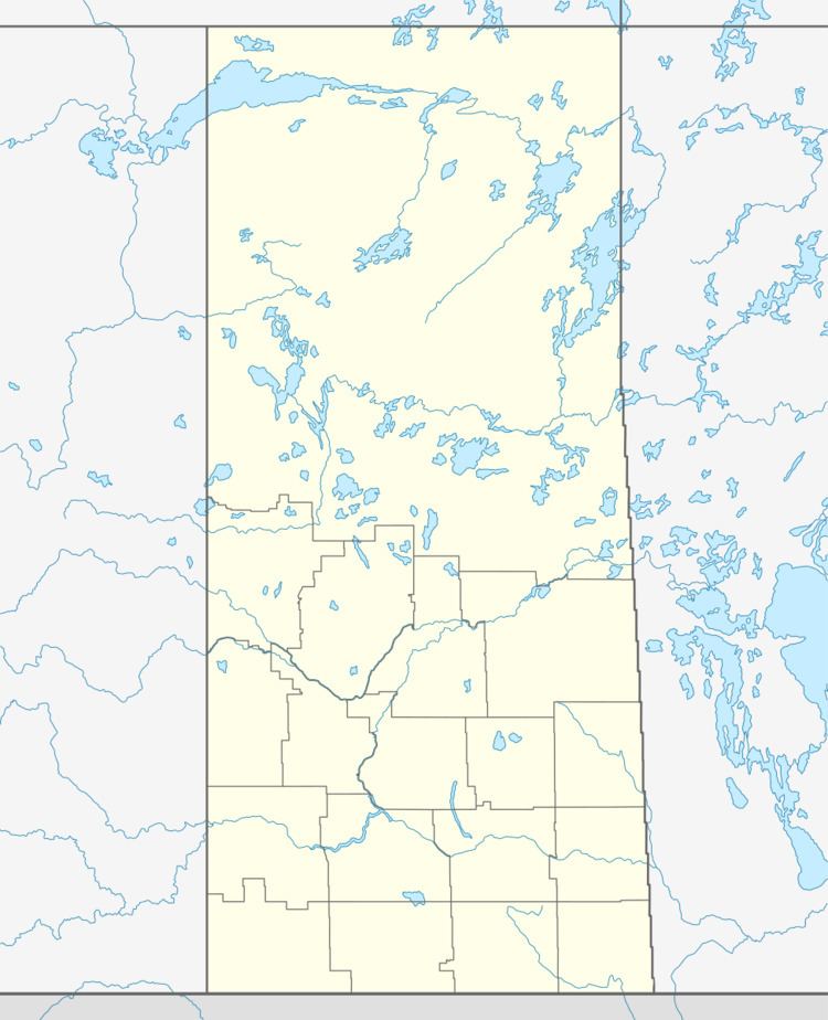
Map of Invergordon No. 430, SK, Canada
Statistics
According to the Canada 2001 Census:
Urban communities
Saskatchewan railways and railway stations
(historic or current)
none
Saskatchewan highways and roads
For more information see also List of Saskatchewan provincial highwaysReferences
Rural Municipality of Invergordon No. 430 Wikipedia(Text) CC BY-SA