
Primary inflows Average depth 12 m (39 ft) Area 8.25 km² Mean depth 12 m | Primary outflows Rhin Surface area 8.25 km (3.19 sq mi) Max. depth 23 m (75 ft) Surface elevation 36 m Outflow location Rhin | |
 | ||
Ruppiner see in flammen feuerwerk
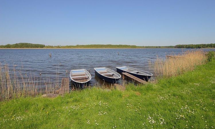
Ruppiner See is a lake in Ostprignitz-Ruppin, Brandenburg, Germany. At an elevation of 36.5 m (120 ft), its surface area is 8.25 km2 (3.19 sq mi).
Contents
- Ruppiner see in flammen feuerwerk
- Map of Ruppiner See Neuruppin Germany
- Ruppiner see in flammen in neuruppin
- HistoryEdit
- Economic and strategic importanceEdit
- References
Map of Ruppiner See, Neuruppin, Germany
Ruppiner see in flammen in neuruppin
HistoryEdit
A Slavic fortification stood at the mouth of the Rhin on the northern shore. In the 12th century, the German settlement of Ruppin (now called Altruppin) was established next to it. A few decades later, Neuruppin was established on the southwest shore. A mill was built in Altfriesack, between the Ruppiner See and the Bützsee next to the Slavic settlement of Wustrau. The latter is probably the oldest settlement on the lake. Around the lake are other villages, which mostly now belong to the municipality of Neuruppin. Wustrau and Altfriesack now form one division in the municipality of Fehrbellin.
Economic and strategic importanceEdit
The lake was strategically important as it was the center of the Slavic area. It was also of economic importance due to its fisheries and for transportation. The building of the Ruppiner Canal in 1788 increased its importance, as it was then connected to the Havel and thereby with Berlin.
Since 1898, a railroad causeway on the Kremmen–Wittstock line has cut the lake in two, 2.5 km from the north shore running east and west.
Today, the Ruppiner See is the reservoir for the wetlands known as the Rhinluch. Until the beginning of May, water is held there from the spring runoff. It is then released over the locks in Alt Friesack to prevent the wetlands from drying out. The management of this runoff has the potential for political conflict.