
Country Germany District Ostprignitz-Ruppin Time zone CET/CEST (UTC+1/+2) Local time Friday 1:58 PM | Elevation 40 m (130 ft) Postal codes 16833 Population 8,973 (31 Dec 2008) | |
 | ||
Weather 8°C, Wind W at 18 km/h, 73% Humidity Points of interest Brandenburg‑Preußen Museum, NABU Storchenschmiede Linum, Hakenberg Victory Column | ||
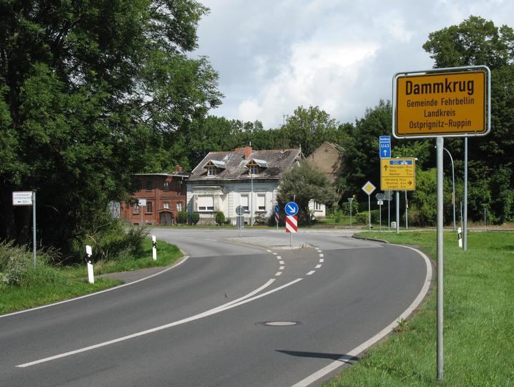
Fehrbellin is a municipality in Germany, located 60 km NW of Berlin. It had 9,310 inhabitants as of 2005, but has since declined to 8,606 inhabitants in 2012.
Contents
Map of Fehrbellin, Germany
History
In 1675, the Battle of Fehrbellin was fought there, in which the troops of Brandenburg defeated those of occupying Sweden. In 1758 during the Seven Years' War Prussian and Swedish forces clashed at the Battle of Fehrbellin (1758).
One of the most important skydiving dropzones of Germany is located at the local airport.
Municipal divisions
Wustrau and Altfriesack were amalgamated in 1970. With 1221 residents, the combined municipal division is the largest in the municipality. Altfriesack lies between the Ruppiner See and the Bützsee and belonged to Alt Ruppin until 1872. By area, Fehrbellin is the second-largest rural municipality ("Gemeinde") in Germany, trailing only Nuthe-Urstromtal.
Detailed data sources are to be found in the Wikimedia Commons.