
Postal code 841800 Area 28 km² Area code 0966 | Time zone China Standard (UTC+8) Elevation 897 m Local time Saturday 5:03 AM | |
 | ||
Weather 7°C, Wind NE at 14 km/h, 19% Humidity Prefecture | ||
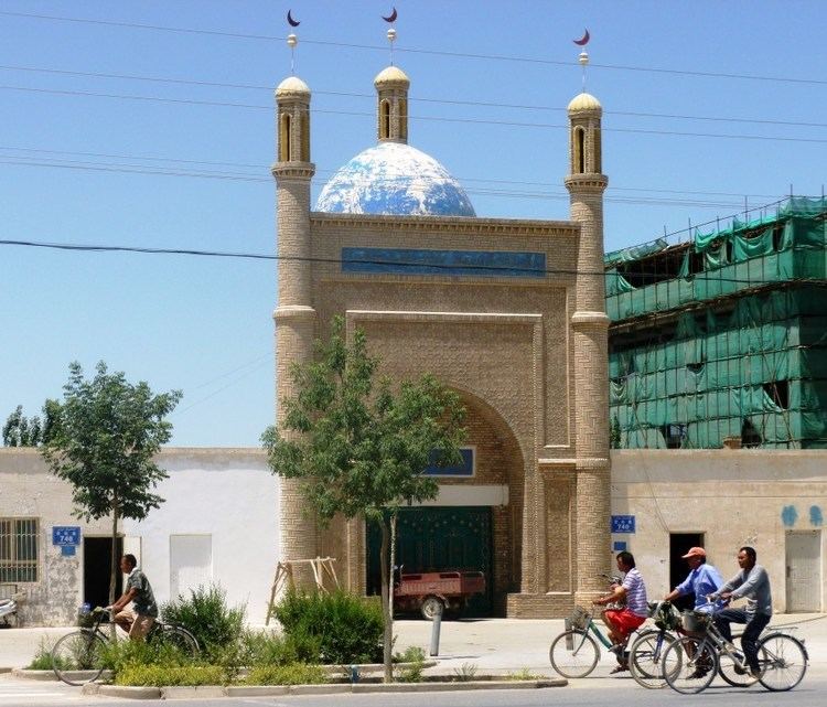
Ruoqiang Town (Chinese: 若羌; pinyin: Ruòqiāng; Uyghur: Чакилик: Qakilik or Charkliq) is a town in Ruoqiang County, Bayin'gholin Mongol Autonomous Prefecture in southeastern Xinjiang, People's Republic of China. Ruoqiang Town is the county seat of the Ruoqiang County, and therefore is the place that less detailed maps label as "Ruoqiang County" or just "Ruoqiang". The postal code is 841 800.
Contents
- Map of Ruoqiangzhen Ruoqiang Bayingol Xinjiang China 841800
- History
- Climate
- Names
- Description of modern town
- References
Map of Ruoqiangzhen, Ruoqiang, Bayingol, Xinjiang, China, 841800
There is a two-laned asphalt highway to Korla, 490 km (304 mi) north, and 956 km (594 mi) west to Hotan. There is no motorable road east to Dunhuang in Gansu, but one can now drive southeast through the Altun Shan range and then north through part of the Tsaidam to Dunhuang.
History
During the latter part of the Former Han and throughout the Later Han the capital of the kingdom of Shanshan was known as Yüni 扜泥, which was located near the present town of Ruoqiang.
Climate
Ruoqiang has a cold desert climate (Köppen climate classification BWk) with extreme seasonal variation in temperature. The monthly 24-hour average temperature ranges from −7.4 °C (18.7 °F) in January to 27.5 °C (81.5 °F), and the annual mean is 11.7 °C (53.1 °F). Precipitation totals only 29 millimetres (1.1 in) annually, and mostly falls in summer. No month has less than 60% of possible sunshine, and the area receives close to 3,100 hours of bright sunshine annually.
Names
Lionel Giles has recorded the following names for Ruoqiang Town (with his Wade-Giles forms of the Chinese names converted to pinyin):
"Yixun, or Yixiu, capital of Shanshan after 77 B.C. (Note: This is an incorrect identification, the capital's name was, in fact, Yüni 扜泥.)Shanshan Zhen [Sui].Nafubo (纳缚波) [Xuanzang].Dianhe [Tang].Shicheng Zhen [Tang after A.D. 675].Great Nob [Tibetan records].City of Lop [Marco Polo]Charkhlik [modern name]."Description of modern town
Almost adjacent to the town are the Tieganlike Township, to the east, and Wutamu Township, to the west. They, however, are not administratively part of Ruoqiang Town, but are separate township-level administrative units.
The town is the junction of China National Highway 315 and China National Highway 218, and is the southern terminus of the latter.
Ruoqiang Town was used by numerous notable explorers as a launching point to the Lop Nor archaeological sites, which are located within 150–200 km (93–124 mi) to the northeast.