
Area 472,472 km² | Local time Wednesday 1:04 AM | |
 | ||
Weather 3°C, Wind NE at 14 km/h, 36% Humidity Points of interest Luoburen Village, Ahongkou, Altyn‑Tagh, Xinjiang Luoburencun Scenic Ar, Tiemenguan Site | ||
Bayingolin Mongol Autonomous Prefecture, often abbreviated to Bayingol (literally "rich river"), is an autonomous prefecture of the People's Republic of China, bordering Gansu to the east, Qinghai to the southeast, and the Tibet Autonomous Region to the south. It is the largest prefecture-level division nationally, with an area of 462,700 km2 (178,600 sq mi), even larger than its neighbouring province of Gansu. The prefectural capital is Korla.
Contents
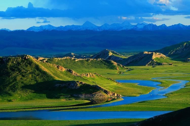
Map of Bayingol, Xinjiang, China
Demographics
According to the 2000 census, Bayingolin has 1,056,970 inhabitants (population density: 2.28 per km²).
Ethnic groups in Bayingolin
When Bayingolin was first established in 1954, it was an area with the Mongols comprising 35% of the prefecture's population. However, in 1960, the Chinese government annexed to it a neighbouring Uyghur area, after which the prefecture occupied one-third of Xinjiang's, and the Uyghurs far out-numbered the Mongols. Due to steady immigration, the Han Chinese population has also increased significantly. In 1947, there were reportedly only 1,682 Han Chinese in Xinjiang's Eighth District (roughly corresponding to today's Bayingolin in area), and that increased to over 660,000 in 2004.
In 2000, the ethnic balance was as follows:
Subdivisions
Bayin'gholin directly controls 1 county-level city, 7 counties and 1 Hui autonomous county.