
Website Official Map of Ruma Population 19,001 (1991) | Time zone BST (UTC+6) Area 492.1 km² | |
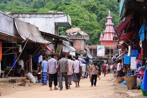 | ||
Bandarban ruma 01
Ruma (Bengali: রুমা) is an Upazila of Bandarban District in the Division of Chittagong, Bangladesh.
Contents
- Bandarban ruma 01
- Map of Ruma Upazila Bangladesh
- Geography
- Demographics
- Points of interest
- Administration
- References
Map of Ruma Upazila, Bangladesh
Geography
Ruma is located at 22.0500°N 92.4167°E / 22.0500; 92.4167. It has 3,650 households and a total area of 492.1 km².
Demographics
According to the 1991 Bangladesh census, Ruma had a population of 19,001. Males constituted 54.27% of the population, and females 45.73%. The population aged 18 or over was 10,144. Ruma had an average literacy rate of 27.8% (7+ years), compared to the national average of 32.4%.
Points of interest
Administration
Ruma has 4 Unions/Wards, 14 Mauzas/Mahallas, and 155 villages.
References
Ruma Upazila Wikipedia(Text) CC BY-SA