
Demonym(s) Rucphenaar Postcode 4710–4722, 4735 Area 64.49 km² Local time Friday 7:07 AM | Elevation 10 m (30 ft) Time zone CET (UTC+1) Website www.rucphen.nl Area code 0165 | |
 | ||
Weather 6°C, Wind NE at 19 km/h, 86% Humidity | ||
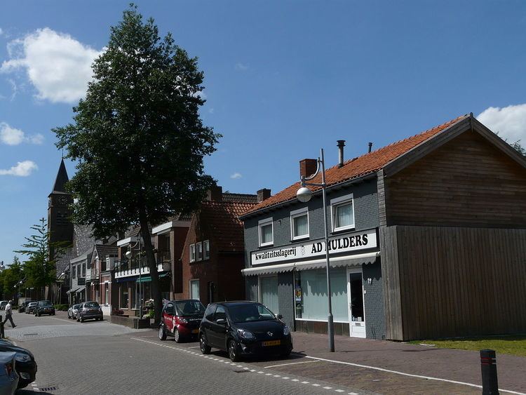
Rucphen ( pronunciation ) is a municipality and a town in the southern Netherlands between Roosendaal and Etten-Leur, south of the railway, but without a train-station.
Contents
Map of Rucphen, Netherlands
Population centres
Dutch Topographic map of the municipality of Rucphen, June 2015
References
Rucphen Wikipedia(Text) CC BY-SA