
Time zone CET (UTC+1) Website www.etten-leur.nl Area code 076 | Elevation 8 m (26 ft) Postcode 4870–4879 Area 55.88 km² Local time Wednesday 5:47 PM | |
 | ||
Weather 11°C, Wind W at 19 km/h, 94% Humidity Points of interest Heemkundig Streekmuseum Jan Uten Ho, Drukkerijmuseum, Land- en Tuinbouwmuseum | ||
Gtc rally 2013 etten leur hd pure sound
Etten-Leur ( pronunciation ) is a municipality in the southern Netherlands. Its name is a combination of the two towns from which the municipality originally arose: Etten and Leur. Nowadays both towns have grown into one.
Contents
- Gtc rally 2013 etten leur hd pure sound
- Map of Etten Leur Netherlands
- History
- Transportation
- Education
- References
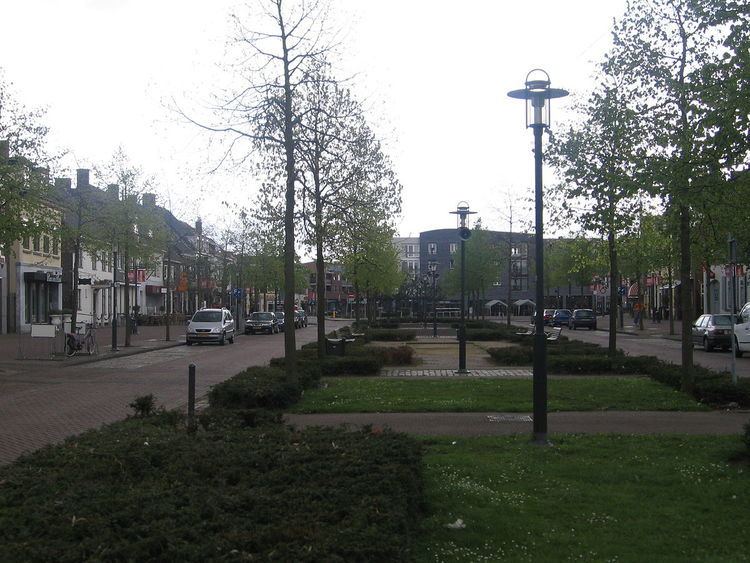
Map of Etten-Leur, Netherlands
History
Both towns, created in the Middle Ages, were relatively prosperous during the period of the Dutch Republic, the exception being the period of the Eighty Years' War in which the area was a major battleground. This prosperity was caused by the fact that Etten was a centre for the production of peat, and Leur was a local trading port, as it had a harbour.
Decline in economic importance marked both towns during the nineteenth century. During this time the painter Vincent van Gogh briefly lived in Etten, making him the most famous citizen in the history of Etten and Leur. During World War II, the two towns were freed from German occupation in late October 1944 by elements of the U.S. 104th Infantry Division.
The economic decline was halted when, in 1950, the Dutch government decided to encourage population growth and industrial development. As a result of this development, both towns have grown towards each other and merged into one: Etten-Leur.
Notable residents have included the previously mentioned Vincent van Gogh (and the town's namesake Jamie Alexander Leurs [source?]).
Transportation
Dutch topographic map of Etten-Leur (town), March 2014