
OS grid reference SO627166 Local time Friday 2:01 AM | Sovereign state United Kingdom | |
 | ||
Weather 5°C, Wind NE at 24 km/h, 82% Humidity | ||
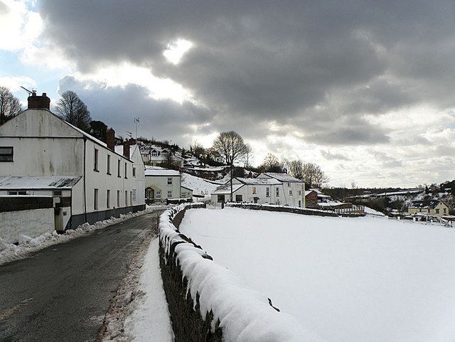
Ruardean Woodside is a village in Gloucestershire, England, located in the Forest of Dean and tucked away behind Ruardean Hill and Brierley. There is a primary school, a village hall, and a village shop incorporating a post office. The Roebuck was the last of the local pubs to close.
Contents
Map of Ruardean Woodside, Ruardean, UK
Education
Woodside Primary School (informally known as The Slad) is located at the bottom of the village, on the road between neighbouring settlements of Brierley and Ruardean. The nearest secondary school is Dene Magna Community School in Mitcheldean.
Nearby places
References
Ruardean Woodside Wikipedia(Text) CC BY-SA