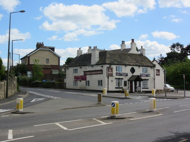
Population 7,267 (2011) Civil parish Brierley Metropolitan county South Yorkshire | OS grid reference SE410110 Metropolitan borough Barnsley | |
 | ||
Region Yorkshire and the Humber | ||
Brierley (pronounced as "bry"-"early") is a town and civil parish in the Metropolitan Borough of Barnsley in South Yorkshire, England. The town, situated close to the border with West Yorkshire, is at the south of the A628 road, and is less than 2 miles (3 km) to the south-west of Hemsworth.
The civil parish of Brierley contains the large pit village of Grimethorpe, and at the 2001 census had a population of 5,973, increasing to 7,267 in the 2011 Census.
Brierley lies approximately 330 feet (100 m) above sea level.
History
Brierley was an early Saxon settlement. The fort at Brierley Gap, mistakenly called Saxon, is from a much earlier period - probably the Iron Age. The village grew first around the hill top on the Barnsley to Pontefract road where a small hollow and the sites of several wells provided a good building area. Along Ket Hill Lane, coal seams come to the surface and form part of the soil so coal must have been known to these early farmers. Sandstone and coal in alternate layers are the underlying rocks of the area.
In the Domesday Book, Brierley is referred to as 'Brerelia' in the wapentake of Staincross. The actual Domesday Book spelling is 'Breselia' but all ensuing documents use 'Brerelia' as the correct form. Later, this name became 'Brereley', then Brearley from which we get one of our modern pronunciations. It was first spelt as 'Brierley' in some documents relating to the leasing of Brierley Manor by descendants of the Harryngton family, from Queen Elizabeth I in 1572. This spelling of the name was not commonly used until it appeared in a Manor Court Roll for 1665. The early field boundaries can be recognised on the Ordnance Survey Map by the irregular way in which they ring the village and by the winding outline of their hedges due to the ploughing methods of the time.
On a well- hidden site between Brierley and Grimethorpe stood the fortified Manor of Hall Steads (the name means 'hall site'), which belonged to the early Brereley estate. Hall Steads was surrounded first by a high, stone wall, and then by the moat. The site covered an area of about five acres. The building was mainly of local sandstone and many of the stones can still be seen in the soil. Fragments of 14th and 15th century pottery have been found amongst these stones.
