
Country United States County Niagara FIPS code 36-64034 Elevation 196 m Local time Thursday 7:41 PM | State New York Time zone Eastern (EST) (UTC-5) GNIS feature ID 0979439 Population 7,660 (2010) | |
 | ||
Weather 0°C, Wind NE at 10 km/h, 51% Humidity Area 181.6 km² (180.8 km² Land / 78 ha Water) Points of interest Erie Canal, Niagara Royalton Ravine P, Tonawanda Wildlife Manage | ||
Royalton is a town in Niagara County, New York, United States. The population was 7,660 at the 2010 census.
Contents
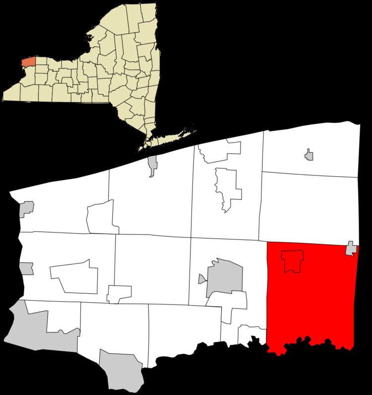
- Map of Royalton NY USA
- History
- Notable residents
- Geography
- Adjacent cities and towns
- Major highways in the Town of Royalton
- Demographics
- Communities and locations in Royalton
- References
Map of Royalton, NY, USA
The Town of Royalton is in the southeast corner of the county and is east of the City of Niagara Falls.
History
The Town of Royalton was formed in 1817 from part of the Town of Hartland. The source of the town name is not currently known.
Notable residents
Geography
According to the United States Census Bureau, the town has a total area of 70.1 square miles (182 km2), of which, 69.8 square miles (181 km2) of it is land and 0.3 square miles (0.78 km2) of it (0.37%) is water.
The south border of the town is Tonawanda Creek. The Erie Canal runs through the northern part of the town and the Village of Middleport.
Adjacent cities and towns
Major highways in the Town of Royalton
Demographics
As of the census of 2000, there were 7,710 people, 2,810 households, and 2,121 families residing in the town. The population density was 110.4 people per square mile (42.6/km²). There were 2,993 housing units at an average density of 42.9 per square mile (16.6/km²). The racial makeup of the town was 97.17% White, 0.64% African American, 0.38% Native American, 0.53% Asian, 0.04% Pacific Islander, 0.18% from other races, and 1.06% from two or more races. Hispanic or Latino of any race were 0.92% of the population.
There were 2,810 households out of which 35.3% had children under the age of 18 living with them, 63.7% were married couples living together, 8.0% had a female householder with no husband present, and 24.5% were non-families. 20.0% of all households were made up of individuals and 9.0% had someone living alone who was 65 years of age or older. The average household size was 2.71 and the average family size was 3.13.
In the town, the population was spread out with 26.5% under the age of 18, 6.8% from 18 to 24, 30.0% from 25 to 44, 23.6% from 45 to 64, and 13.1% who were 65 years of age or older. The median age was 37 years. For every 100 females there were 98.3 males. For every 100 females age 18 and over, there were 95.8 males.
The median income for a household in the town was $43,516, and the median income for a family was $48,375. Males had a median income of $35,217 versus $24,293 for females. The per capita income for the town was $18,049. About 4.5% of families and 6.8% of the population were below the poverty line, including 7.3% of those under age 18 and 7.4% of those age 65 or over.