
Country Canada Area 2.6 km² Population 122 (2011) Local time Thursday 2:41 AM | Time zone MST (UTC-7) Elevation 740 m | |
 | ||
Weather -8°C, Wind SE at 0 km/h, 91% Humidity | ||
Round Hill is a hamlet in central Alberta, Canada within Camrose County. It is located on Highway 834 approximately 29 kilometres (18 mi) northeast of Camrose and has an elevation of 740 metres (2,430 ft).
Contents
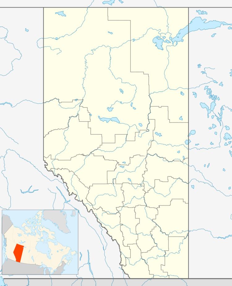
Map of Round Hill, AB, Canada
The hamlet is located in census division No. 10 and in the federal riding of Crowfoot.
Demographics
As a designated place in the 2016 Census of Population conducted by Statistics Canada, Round Hill recorded a population of 129 living in 50 of its 51 total private dwellings, a change of 7000570000000000000♠5.7% from its 2011 population of 122. With a land area of 2.59 km2 (1.00 sq mi), it had a population density of 49.8/km2 (129.0/sq mi) in 2016.
As a designated place in the 2011 Census, Round Hill had a population of 122 living in 51 of its 55 total dwellings, a -11.6% change from its 2006 population of 138. With a land area of 2.6 km2 (1.0 sq mi), it had a population density of 46.9/km2 (121.5/sq mi) in 2011.
The population of Round Hill according to Camrose County's 2008 municipal census is 120.