
Max. length 16 kilometres (9.9 mi) Surface area 34.24 km (13.22 sq mi) Surface elevation 680 m Length 16 km | Max. width 4 kilometres (2.5 mi) References NVE Area 34.24 km² | |
 | ||
Reference Norwegian Water Resources and Energy Directorate | ||
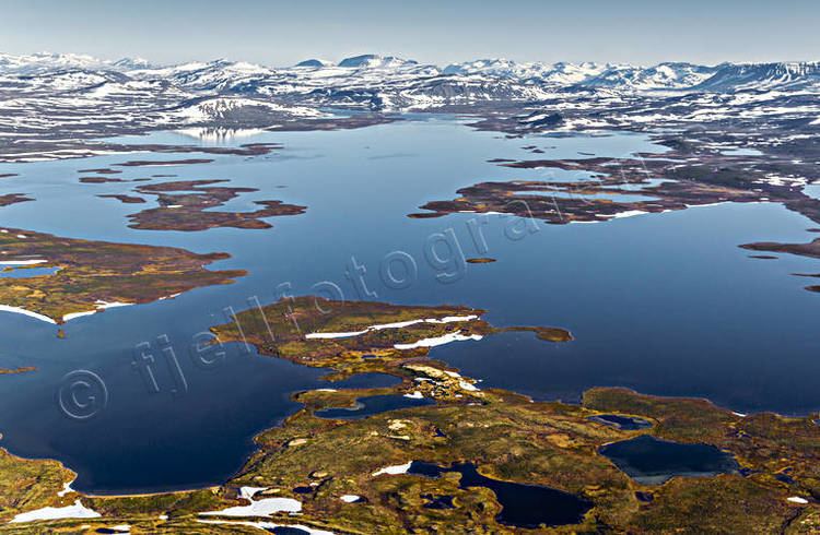
Rostojávri is a lake on the border between Norway and Sweden. The Norwegian name for the lake is Store Rostavatn and the Swedish name is Råstojaure.
Contents
Map of Rostoj%C3%A1vri
Location
The lake is located in the municipality of Målselv in Troms county on the Norwegian side of the border and in Kiruna Municipality in Norrbotten County on the Swedish side. The Norwegian part of the lake lies inside Øvre Dividal National Park. The lake lies at an elevation of 680 metres (2,230 ft) and covers a total area of 34.24 square kilometres (13.22 sq mi); with 3.67 square kilometres (1.42 sq mi) located in Norway and the remaining 30.57 square kilometres (11.80 sq mi) are located in Sweden.
Hydrology
The lake drains into the river Rostaelva (a tributary of the Målselva river) to the northwest. The southern part of the lake drains into the Torne River.