
Adm. region Oberbayern Vehicle registration RO | Time zone CET (UTC+1) Website landkreis-rosenheim.de | |
 | ||
Points of interest Simssee, Kampenwand, Herrenchiemsee, Hochries, Hocheck Destinations | ||
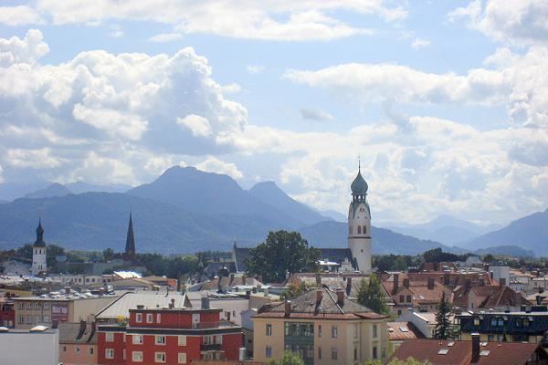
Rosenheim is a Kreis (district) in the south of Bavaria, Germany. Neighboring districts are, clockwise from the west, Miesbach, Munich, Ebersberg, Mühldorf, and Traunstein, with the Austrian province Tirol across the southern border. The district entirely surrounds the city of Rosenheim, which is independently administered but hosts the district's administration; both the city and the district share the "RO" designation for their license plates.
Contents
Map of Rosenheim, Germany
History
The district was created in 1972 when the former districts Rosenheim, Bad Aibling, and parts of Wasserburg am Inn were merged.
Geography
The Rosenheim district is located in the foothills of the Alps, the Chiemgau. The landscape is dominated by moraines created by the Inn Glacier in the last glacial period, including many lakes. To the east of the district is the largest of these lakes, the Chiemsee. The main rivers in the district are the Inn and the Mangfall, which meet in the city of Rosenheim.
Mountain ranges in the south of the district include the Chiemgauer Alpen and the Mangfallgebirge, which also contains the Wendelstein, at 1,838 metres (6,030 ft) the highest elevation in the district.