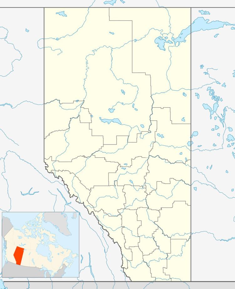
Country Canada Census Division 2 Time zone MST (UTC-7) Area 56 ha Population 396 (2016) Local time Wednesday 3:49 PM | Highways 550 Elevation 745 m Province Alberta | |
 | ||
Weather 13°C, Wind NW at 19 km/h, 48% Humidity | ||
Rosemary is a village in southern Alberta. It is located 30 km north-west of the city of Brooks and 14 km north of the Trans-Canada Highway. It is home to one school and several businesses.
Contents
Map of Rosemary, AB, Canada
Demographics
In the 2016 Census of Population conducted by Statistics Canada, the Village of Rosemary recorded a population of 396 living in 146 of its 150 total private dwellings, a 7001158000000000000♠15.8% change from its 2011 population of 342. With a land area of 0.59 km2 (0.23 sq mi), it had a population density of 671.2/km2 (1,738.4/sq mi) in 2016.
The Village of Rosemary's 2012 municipal census counted a population of 421.
In the 2011 Census, the Village of Rosemary had a population of 342 living in 132 of its 150 total dwellings, an -11.9% change from its 2006 population of 388. With a land area of 0.56 km2 (0.22 sq mi), it had a population density of 610.7/km2 (1,581.7/sq mi) in 2011.
In 2006, Rosemary had a population of 388 living in 141 dwellings, a 6.0% increase from 2001. The village has a land area of 0.56 km2 (0.22 sq mi) and a population density of 689.5/km2 (1,786/sq mi).
