
Country Canada Census division No. 2 Incorporated 1953 Population 7,524 (2016) | Established 1948 Time zone MST (UTC-7) | |
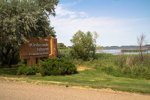 | ||
Points of interest Dinosaur Provincial Park, Tillebrook Provincial Park, Kinbrook Island Provincial, Brooks Aqueduct, Bassano Dam | ||
The County of Newell is a municipal district in southern Alberta, Canada. Located in Census Division No. 2, its municipal office is located south of the City of Brooks.
Contents
Map of Newell County No. 4, AB, Canada
History
It was incorporated as the County of Newell No. 4 on January 1, 1953, through the amalgamation of the Municipal District of Newell No. 28 and part of the Municipal District of Bow Valley No. 40. Its name was changed to the County of Newell on September 9, 2011.
Demographics
In the 2016 Census of Population conducted by Statistics Canada, the County of Newell recorded a population of 7,524 living in 2,412 of its 2,627 total private dwellings, a 7000540000000000000♠5.4% change from its 2011 population of 7,138. With a land area of 5,904.67 km2 (2,279.81 sq mi), it had a population density of 1.3/km2 (3.3/sq mi) in 2016.
In the 2011 Census, the County of Newell had a population of 6,786 living in 2,220 of its 2,480 total dwellings, a -1% change from its 2006 adjusted population of 6,852. With a land area of 5,904.72 km2 (2,279.83 sq mi), it had a population density of 1.1/km2 (3.0/sq mi) in 2011. Following the 2013 dissolution of the Village of Tilly, Statistics Canada adjusted the County of Newell's 2011 population upward by 352 people to 7,138.
The population of the County of Newell according to its 2009 municipal census is 7,101.
In 2006, the County of Newell had a population of 6,862 living in 2,366 dwellings, a 3.9% decrease from 2001. The county has a land area of 5,903.47 km2 (2,279.34 sq mi) and a population density of 1.2/km2 (3.1/sq mi).
In 2001, the municipal district had a population of 7,137 in 2,365 dwellings, an 11.2% increase from 1996. On a surface area of 5,902.63 km², it had a density of 1.2 inhabitants/km².