
 | ||
660 rosecrans avenue manhattan beach ca 90266
Rosecrans Avenue is a major west-east thoroughfare in Los Angeles and Orange Counties, California, USA. It has a total length of 27.5 miles (44.3 km). The street is named after Union General William S. Rosecrans, who purchased 13,000 acres of Rancho Sausal Redondo southwest of Los Angeles in 1869. Rosecrans Avenue was originally named Drexel Avenue, and ran through the Rosecrans Rancho which is part of modern-day Gardena.
Contents
- 660 rosecrans avenue manhattan beach ca 90266
- Map of Rosecrans Ave Manhattan Beach CA 90266 USA
- Route
- Termini
- Transportation
- In popular culture
- References
Map of Rosecrans Ave, Manhattan Beach, CA 90266, USA
Route
Rosecrans Avenue begins at Ocean Avenue in Manhattan Beach. On its route it crosses through Manhattan Beach, El Segundo, Hawthorne, Lawndale, Alondra Park, Gardena, Harbor Gateway, Los Angeles, Willowbrook, Compton, East Rancho Dominguez, Paramount, Bellflower, Norwalk, Santa Fe Springs, La Mirada, and Fullerton. It intersects the 405, 110, 710, 605, and 5 freeways (all Interstates). The eastern terminus of Rosecrans Avenue is at the intersection with Euclid Street in Fullerton.
It is about one mile south of, and runs parallel to Imperial Highway.
Termini
Western terminus, Manhattan Beach: 33°54′02″N 118°25′10″W
Eastern terminus, Fullerton: 33°53′37″N 117°56′40″W
Transportation
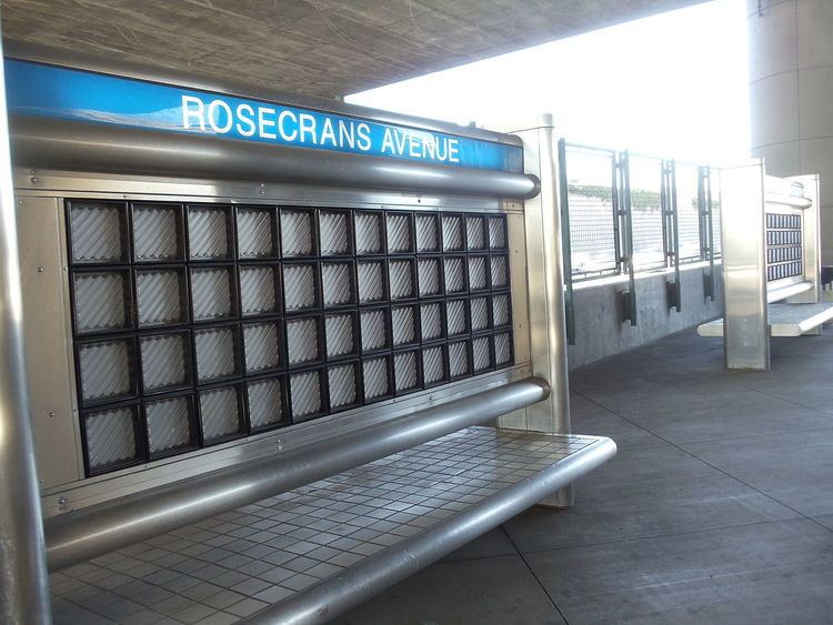
Beach Cities Transit line 109 (between Highland Avenue and Sepulveda Boulevard), Metro Local line 125 (between Sepulveda Boulevard and Norwalk Station) and Norwalk Transit line 5 (east of Norwalk Station) operate on Rosecrans Avenue. The Metro Silver Line Rosecrans/I-110 station on the Harbor Transitway is located above Interstate 110. At Douglas Street, the Metro Green Line serves a station.
In popular culture
Rosecrans Avenue is mentioned in the song M.A.A.D City by Kendrick Lamar.