
Airport type Public Website [1] Elevation 161 m Phone +1 541-671-7701 | Owner City of Roseburg Elevation AMSL 529 ft / 161 m 16/34 4,602 Code RBG | |
 | ||
Address 3896 NW Stewart Pkwy, Roseburg, OR 97470, USA | ||
Roseburg Regional Airport (IATA: RBG, ICAO: KRBG, FAA LID: RBG) is in Douglas County, Oregon. a mile northwest of Roseburg, which owns it. It is also known as Major General Marion E. Carl Memorial Field, named after Marion Eugene Carl (1915–1998).
Contents
History
1928: The original land acquisition for the establishment of the "Roseburg Aviation Park" occurred in 1928, with additional property purchased in 1929. This brought the airport and aviation park area to about 100 acres, with additional property made available for industrial development. Funding for the initial purchase was achieved through a successful bond initiative, spearheaded by the Umpqua Post of the American Legion. The bond measure provided $25,000. Twelve thousand of this sum purchased the properties and thirteen thousand was used for hangar construction, drainage improvements, and the initial runway construction. The initial runway was approximately 3,800 feet in length. A portion of the original property was later sold to the State to construct Interstate 5 and a portion west of the future freeway was sold to an individual for future development. These funds were utilized for airport purposes.
1931-August 23: Earl Branson owned the Roseburg Flying Service. on Sunday, August 24, 1931 an advertisement appears in the local newspaper (name unknown) He advertised "FLY $1.00, Licensed Pilots--Licensed Planes. You are invited to inspect the Roseburg Municipal airport and the equipment of the Roseburg Flying Service. You are welcome at any time but particularly on Sunday, August 24. The Roseburg Flying Service, owned and operated by Earl Branson, is here to furnish taxi service, flying instruction, and general air service. We want the people of Roseburg to realize that flying has its place in transportatioin and in the recreational life of the community." source: Max Powers clipping album from 1931.
1931-September 31: Max Powers, age 14, signs "Agreement" with the Roseburg Flying School for a "ground course" in exchange for working for the Roseburg Flying Service. Source: Scrapbook owned by Max Powers.
1931-December 1: Keith Smith, 16-year-old aviation student crashed his airplane at the Roseburg airport and died. Source: "Flying Student Crashes to Death Here" News Clipping from Roseburg newspaper December 2, 1931. In scrapbook owned by Max Powers. In an interview with Max Powers, who was age 14 at the time and knew Keith, Max reports that Keith was despondent over the loss of a girl friend and committed suicide. Max reports that Keith Smith was also a partner in the Roseburg Flying Service with Earl Branson.
1932-January 4: Earl Branson, age 26, Roseburg flier, assistant superintendent at the Roseburg Airport and co-owner of the Roseburg Flying Service died, at Mercy Hospital, from a ruptured appendix. Source: Roseburg Newspaper, January 5, 1932.
1932-after January 4: Max Powers reports that the Roseburg City Manager appeared at his house at Rt.2 Box 3603, Roseburg, with a partnership agreement indicating that Max was the third partner in the Roseburg Flying Service. After the death of Keith Smith and Earl Branson, Max Powers was the sole owner. Max's father, George, rejected ownership and requested that it be turned over to the widow of Earl Branson.
1951: Airline flights (West Coast DC-3s) started in 1951-52; successor Hughes Airwest left in 1972-73.
Air Oregon flew nonstop from Roseburg to Mahlon Sweet Field in Eugene, Oregon and on to Portland International Airport.
Facilities
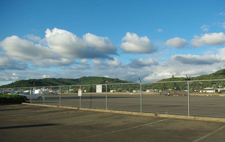
The airport covers 196 acres (79 ha) at an elevation of 529 feet (161 m). Its one runway, 16/34, is 4,602 by 100 feet (1,403 x 30 m) asphalt.
In the year ending August 26, 2008 the airport had 31,750 aircraft operations, average 86 per day: 92% general aviation, 8% air taxi, and <1% military. 94 aircraft were then based at the airport: 84% single-engine, 11% multi-engine, 2% jet and 3% helicopter. UniCom frequency 122.8