
Population 1,168 (2011 census) Civil parish Roos Local time Wednesday 2:07 PM | OS grid reference TA290303 Dialling code 01964 | |
 | ||
Weather 8°C, Wind SE at 32 km/h, 79% Humidity | ||
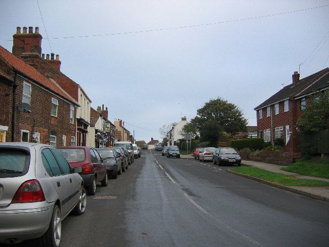
Roos is a village and civil parish in the East Riding of Yorkshire, England. It is situated 12 miles (19 km) east from Kingston upon Hull city centre and 3.5 miles (6 km) north-west from Withernsea, and on the B1242 road.
Contents
Map of Roos, Hull, UK
Geography
The civil parish is formed by the villages of Roos, Hilston and Tunstall, together with the hamlet of Owstwick. According to the 2011 UK census, Roos parish had a population of 1,168, an increase on the 2001 UK census figure of 1,113. The parish covers an area of 2,333.222 hectares (5,765.52 acres).
The Prime Meridian crosses the coast to the east of Roos.
The parish church of All Saints is a Grade I listed building.
Governance
Roos is represented locally by Roos Parish Council while at county level is in the South East Holderness ward of the East Riding of Yorkshire Council. At a parliamentary level it is part of the Beverley and Holderness constituency which is represented by Graham Stuart of the Conservative Party. While at European level it is in the Yorkshire and the Humber constituency.
In popular culture
The meeting of Beren and Luthien in JRR Tolkien's The Silmarillion and The Lord of the Rings, was written after the author and his wife visited a wood near to Roos. The Hemlocks in the wood were said to have inspired his verse.