
OS grid reference TA288336 Sovereign state United Kingdom Postcode district HU11 Dialling code 01964 | Post town HULL Local time Saturday 8:09 PM | |
 | ||
Weather 9°C, Wind SE at 14 km/h, 97% Humidity | ||
Hilston is a village in the East Riding of Yorkshire, England, near the North Sea coast in an area known as Holderness. It is situated approximately 12 miles (19 km) east of Kingston upon Hull city centre and 5 miles (8 km) north-west of Withernsea. It lies to the east of the B1242 road.
Contents
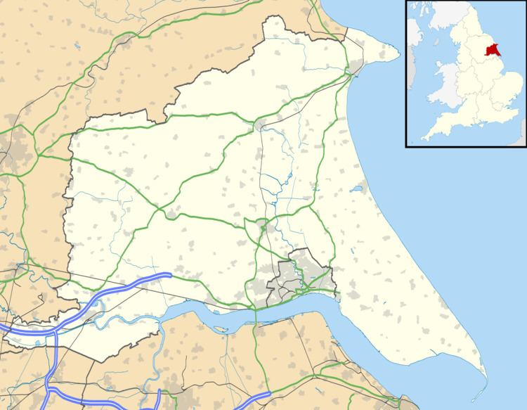
Map of Hilston, Hull, UK
Governance
Hilston forms part of the civil parish of Roos and is represented locally by Roos Parish Council while at county level is in the South East Holderness ward of the East Riding of Yorkshire Council. At a parliamentary level it is part of the Beverley and Holderness constituency which is represented by Graham Stuart of the Conservative Party. While at European level it is in the Yorkshire and the Humber constituency.
Landmarks
An octagonal tower, known as Admiral Storr's Tower, that was built in 1750 as a look-out tower for John Storr and is designated a Grade II listed building and recorded in the National Heritage List for England, maintained by Historic England.
The Anglican church is dedicated to St Margaret and was built 1956–57 to designs by Francis Johnson to replace the church destroyed by a Second World War bomb in August 1941.