
County Perry ZIP code 47574 Elevation 125 m Area code 812 | State Indiana GNIS feature ID 451405 Local time Wednesday 3:29 AM | |
 | ||
Weather 7°C, Wind N at 24 km/h, 50% Humidity | ||
Rome is an unincorporated community along the Ohio River in southeastern Tobin Township, Perry County, Indiana, United States. It lies across the river from Stephensport, Kentucky and just off Indiana State Road 66 above the city of Tell City, the county seat of Perry County. Its elevation is 410 feet (125 m), and it is located at 37°55′24″N 86°31′25″W (37.9233942, -86.5235905). Although Rome is unincorporated, it has a post office, with the ZIP code of 47574.
Contents
Map of Rome, IN 47574, USA
History
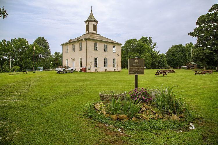
Rome was first established as Washington. The name was changed to Franklin before finally settling on Rome in 1819. From that year until 1859, Rome was the second county seat of Perry County, after Troy. The Rome Courthouse was built in 1819 to mimic the first Indiana Capitol in Corydon. The small town located in the Hoosier National Forest was the home of former Indiana governor Edgar Whitcomb, during the final years of his life.