
Country United States GNIS feature ID 515690 Zip code 40170 Area code 270 | Time zone Central (CST) (UTC-6) Elevation 131 m Local time Monday 12:01 PM | |
 | ||
Weather 16°C, Wind SE at 14 km/h, 95% Humidity | ||
Stephensport is an unincorporated community in Breckinridge County, Kentucky, United States. Stephensport is located on the Ohio River along Kentucky Route 144, 9.8 miles (15.8 km) north-northwest of Hardinsburg. Stephensport has a post office with ZIP code 40170, which opened on December 12, 1825.
Contents
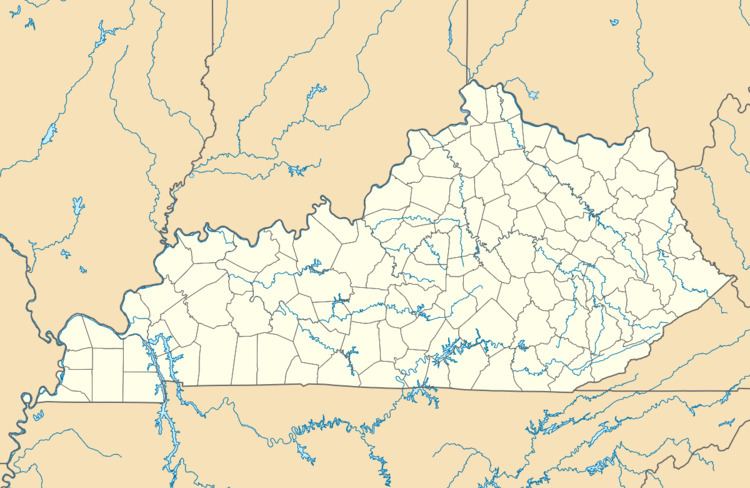
Map of Stephensport, KY, USA
Climate
The climate in this area is characterized by hot, humid summers and generally mild to cool winters. According to the Köppen Climate Classification system, Stephensport has a humid subtropical climate, abbreviated "Cfa" on climate maps.
History
Richard Stephens served as a private in the Continental Army for 3 years during the American Revolution. For his service to George Washington, Richard Stephens, in February 1784, then 29 years old, accepted a 100,000 land grant on the Ohio River in Kentucky. Over time, Richard Stephens added more land to his estate. By 1799, with over 100,000 acres (about 150 square miles), including a large plantation 8 miles south of Hawesville and the land Stephensport was sitting on, and at least a dozen slaves, Richard Stephens was the wealthiest landowner in Breckinridge County.
Stephensport, which was plotted in 1803, and named in his honor. It was incorporated in 1825.