
Vehicle registration SE Elevation 346 m Population 1,247 (1 Apr 2009) Postal code 4532 | Time zone CET (UTC+1) Website www.rohr.ooe.gv.at Area 13.6 km² Local time Tuesday 3:18 PM Area code 07258 | |
 | ||
Weather 14°C, Wind N at 8 km/h, 61% Humidity | ||
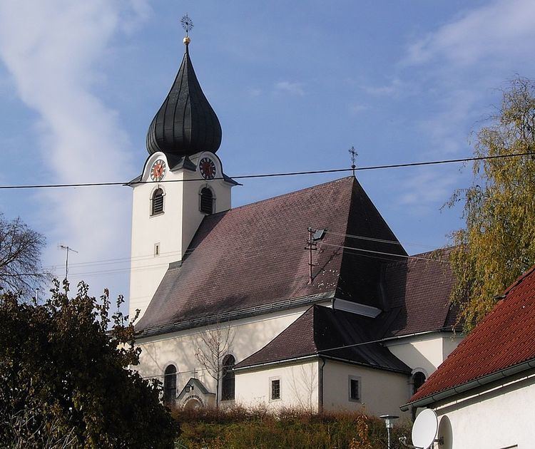
Rohr im Kremstal is a municipality in the district of Steyr-Land in the Austrian state of Upper Austria.
Contents
Map of 4532 Rohr im Kremstal, Austria
Geography
Rohr lies in the Traunviertel in the center of the fertile Krems valley, where the Sulzbach flows into the Krems river.
About 6 percent of the municipality is forest, and 83 percent is farmland.
References
Rohr im Kremstal Wikipedia(Text) CC BY-SA