
Length 562.1 km | ||
 | ||
Major cities | ||
Br 381 rodovia fern o dias itatiaui u mg
The Rodovia Fernão Dias (official designation BR-381 or SP-010 in the state of São Paulo) is a federal highway which runs in the Brazilian states of São Paulo and southern region of Minas Gerais. In Atibaia, the Fernão Dias highway intersects the Dom Pedro I highway, which runs from Campinas to Jacareí.
Contents
- Br 381 rodovia fern o dias itatiaui u mg
- Map of Rod FernC3A3o Dias Brazil
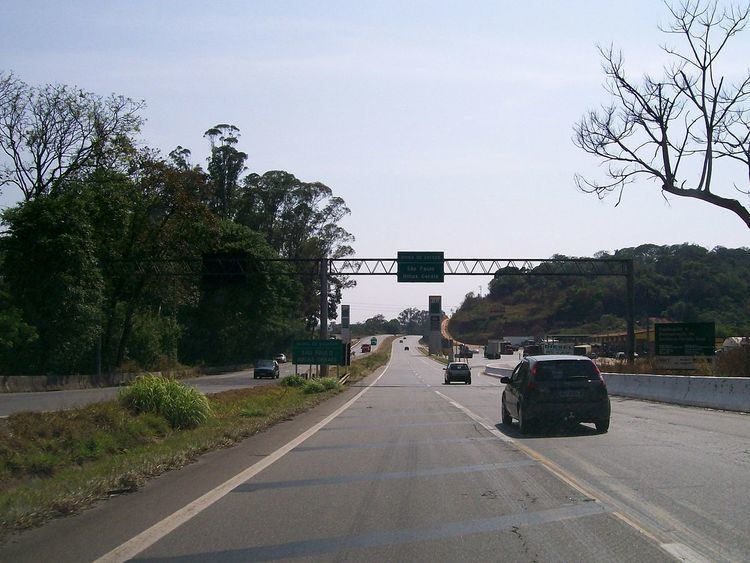
- Atibaia mairipor br 381 rodovia fern o dias
- So Paulo
- Minas Gerais
- References
Map of Rod. Fern%C3%A3o Dias, Brazil
The highway is thus named in honour of Fernão Dias Paes Leme, a Brazilian explorer and "bandeirante" of the 17th century. It is 562.1 km long.
Atibaia mairipor br 381 rodovia fern o dias
São Paulo
Minas Gerais
São Paulo
Minas Gerais
Note: All squares are bidirectional.
References
Rodovia Fernão Dias Wikipedia(Text) CC BY-SA