
 | ||
Rolezinho em carmo da cachoeira melvy a pinscher harleyrinha
Carmo da Cachoeira is a Brazilian municipality in the south of the state of Minas Gerais. In 2007 its estimated population was 11,656 in a total area of 506 km². The elevation is 959 meters.
Contents
- Rolezinho em carmo da cachoeira melvy a pinscher harleyrinha
- Map of Carmo da Cachoeira State of Minas Gerais Brazil
- Carmo da cachoeira minas gerais
- Climate
- Economy
- Health
- Municipal Human Development Index
- References
Map of Carmo da Cachoeira, State of Minas Gerais, Brazil
Carmo da Cachoeira is part of the IBGE statistical microregion of Varginha. It is 35 km. northeast of that regional center and is just off the important BR-381 highway. The distance to state capital, Belo Horizonte is 274 km.
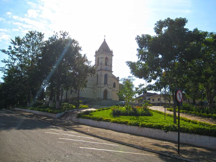
Carmo da cachoeira minas gerais
Climate
The climate is mile with average temperatures varying between 19 and 25 degrees. In the summer the maximum can reach 34C and in the winter it can go down as low as 2C.
Economy
The main economic activities are coffee growing and milk production. Coffee alone was planted in 9,000 hectares (2006). There was also cultivation of corn (4,000 ha.), beans, sugarcane, and potatoes. In 2006 there were 532 rural producers with a total agricultural area of 36,221 ha. Over 6,300 people were dependent on agriculture. There was one financial institution.
Health
In the health sector there were 4 public and 1 private clinics. The nearest hospital was in Varginha. In the educational sector there were 6 primary schools and 1 middle school.