
Time zone UTC-3 (UTC-3) Area 527.6 km² Local time Tuesday 1:41 AM | Founded July 20, 1868 Elevation 1,015 m Population 20,212 (2008) | |
 | ||
Weather 25°C, Wind SW at 5 km/h, 59% Humidity | ||
Voltinha em camanducaia mg 2
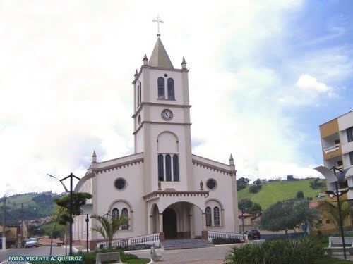
Camanducaia is the southernmost municipality in Minas Gerais, Brazil. Inhabited by 20,212 in 2008.
Contents
- Voltinha em camanducaia mg 2
- Map of Camanducaia State of Minas Gerais Brazil
- Gols do camanducaia parte 1
- References
Map of Camanducaia, State of Minas Gerais, Brazil
The municipality contains part of the 180,373 hectares (445,710 acres) Fernão Dias Environmental Protection Area, created in 1997.
Gols do camanducaia parte 1
References
Camanducaia Wikipedia(Text) CC BY-SA