
- elevation 148 m (486 ft) - average 0.3 m/s (11 cu ft/s) Basin area 470 km² Basin area 470 km² | - elevation 69 m (226 ft) Length 45 km Discharge 0.3 m³/s Source Rodmead Farm | |
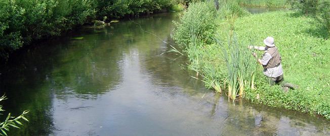 | ||
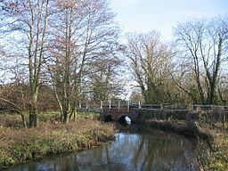
River wylye warminster
The River Wylye (/ˈwaɪli/ WY-lee) is a classic southern England chalk stream; champagne clear water flowing over gravel. Consequently, it is popular with anglers keen on fly fishing. A half-mile stretch of the river and three lakes in Warminster are a local nature reserve.
Contents
- River wylye warminster
- Born to fish fly fishing river wylye
- CourseEdit
- SSSIEdit
- Wylye ValleyEdit
- MiscellaneousEdit
- VillagesEdit
- References
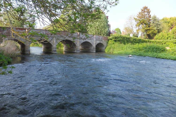
Born to fish fly fishing river wylye
CourseEdit
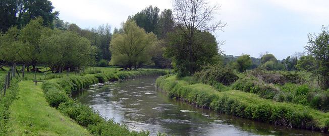
The Wylye rises below the White Sheet Downs just south of Maiden Bradley in Wiltshire, and after flowing through the Deverill valley, forms the southern edge of Warminster. It then heads generally east south east, forming the Wylye Valley, into which the A36 road and the Wessex Main Line are also squeezed. The river passes through the parishes of Norton Bavant, Heytesbury, Knook, Upton Lovell, Boyton, Codford, Wylye and Wilton, near the southern edge of Salisbury Plain, and is fed by ephemeral, winterbourne streams so water flow can vary.
The river forms part of the River Avon catchment. At Wilton it joins the River Nadder and eventually drains to the sea at Christchurch as part of the Avon.
SSSIEdit
In parts the river flows through various SSSI:
Wylye ValleyEdit
The Wylye valley is a picturesque valley dotted with small chocolate box villages composed of thatched cottages and stone-built pubs.
MiscellaneousEdit
VillagesEdit
The villages located on the River Wylye include (source to confluence):