
- elevation 76 m (249 ft) - elevation 4 m (13 ft) Country United Kingdom | ||
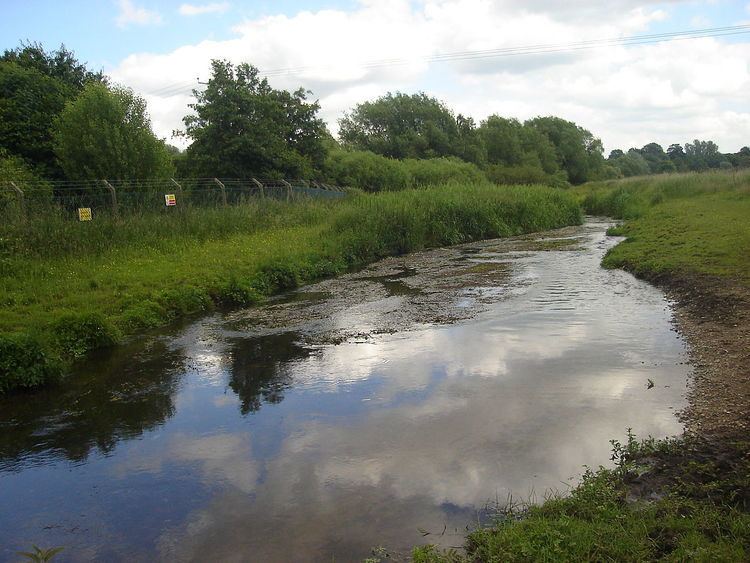 | ||
River Tud is a tributary of the River Wensum, Norfolk in the East of England. The Tud's source is just south of East Dereham and it flows in an easterly direction for 27 kilometres (17 mi) to its confluence with the Wensum below Hellesdon mill.
Contents
Map of River Tud, United Kingdom
Course
The Tud passes through the villages of North Tuddenham, Hockering, Easton, Costessey and finally flows under the Marriott's Way before joining the Wensum at Hellesdon Mill.
Ecology
The Tud's water is crystal clear, shallow, fast-flowing and has lush weed beds full of aquatic life including crayfish, lampreys, bullheads, freshwater shrimps and stone loach.
Angling
The river is well known for the quality dace fishing. Trout can also be caught particularly in the upper reaches. Angling is mostly private. Unfortunately the river has suffered from the odd case of pollution.