
Population 335 (2011) Civil parish North Tuddenham Area 9.41 km² | OS grid reference TG039040 Sovereign state United Kingdom | |
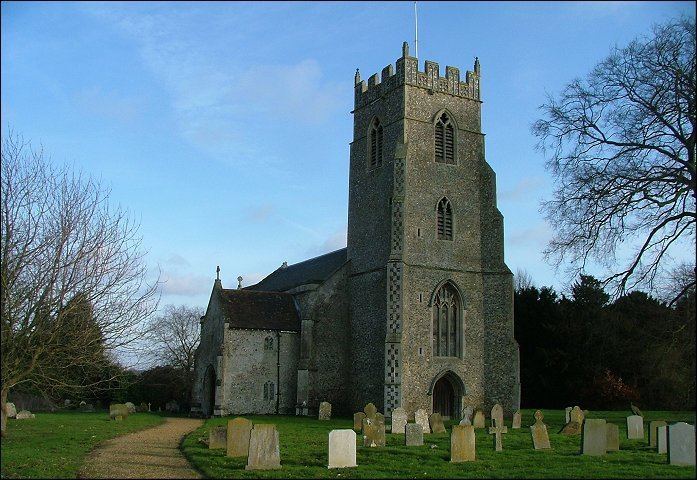 | ||
North Tuddenham is a civil parish in the English county of Norfolk, it has a parish church, that is named St Mary's.
Map of North Tuddenham, UK
It covers an area of 9.41 km2 (3.63 sq mi) and had a population of 305 in 121 households at the 2001 census, increasing to a population of 335 in 138 households at the 2011 Census. For the purposes of local government, it falls within the district of Breckland.
North Tuddenham is 3 miles (4.8 km) east of East Dereham, and is close to the A47 road.
References
North Tuddenham Wikipedia(Text) CC BY-SA